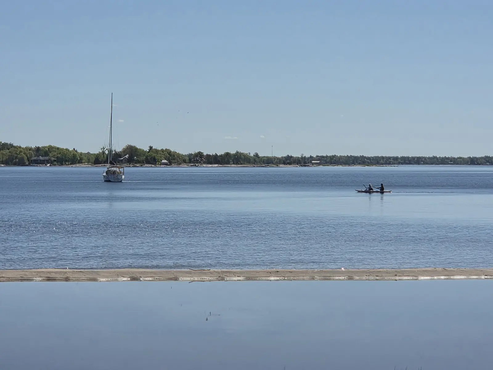
Manitoulin Island sits between Lake Huron's North Channel and Georgian Bay. Destination Ontario calls it the largest freshwater island in the world. It is a place of limestone bluffs, quiet harbours, farm country and Anishinaabe communities, and it rewards slow travel. This guide covers how to get there in every season, the best hikes and lookouts, Indigenous-led experiences, and what to know before you go, including two changes from 2026.
Getting to Manitoulin
There are two ways onto the island, and which one you use depends on the season.
The Chi-Cheemaun ferry (seasonal)
From the south, the MS Chi-Cheemaun crosses between Tobermory, at the tip of the Bruce Peninsula, and South Baymouth on the island. Ontario Ferries says the crossing takes about 1 hour 45 minutes in peak season and about 2 hours off-peak. Reservations are required for all passengers.
The ferry is seasonal. The 2026 sailing season has ended, and Ontario Ferries says reservations for 2027 will open in March 2027. If you are planning a summer loop, the ferry makes a good one: drive up the Bruce Peninsula, stop in Tobermory and Bruce Peninsula National Park, sail to the island, then leave by the bridge to the north.
The Little Current Swing Bridge (year-round)
From the north, Highway 6 crosses onto the island at Little Current on the swing bridge. The Town of Northeastern Manitoulin and the Islands says the bridge was built in 1913 as a railway bridge and has carried vehicles since 1946. It stays in the closed position, open to cars, except for the first fifteen minutes of each daylight hour in summer, when it swings open for boats. In winter it stays closed to boats, so road traffic is never held up. This is the only way onto the island outside ferry season.
Destination Ontario puts the island about a two-hour drive from Sudbury.
Hikes and lookouts
Cup and Saucer Trail
The island's best-known hike climbs to cliff-top lookouts on the Niagara Escarpment. The Escarpment Biosphere Conservancy says the Cup and Saucer Trail begins on its property, continues onto privately owned land, and has about 8 km of trail. The trailhead is on Highway 540, about 20 km west of Little Current. Stay on the marked trail, respect the private land, and give yourself time for the lookouts.
Misery Bay Provincial Park
On the island's southwest shore, Misery Bay is the only operating provincial park on Manitoulin. It is day-use only, with about 15 km of hiking trails and an eco-friendly visitor centre. Ontario Parks lists its 2026 season as May 15 to October 18, and lists cross-country skiing and snowshoeing as not available, so plan it for the warmer months.
Gore Bay
The town of Gore Bay, on the North Channel, makes a good base for the western half of the island. Its harbour and waterfront are worth an afternoon. Local craft beer is at Split Rail Brewing Co., whose taproom hours change with the season.
Bridal Veil Falls: look, don't swim
Bridal Veil Falls at Kagawong is one of the island's most photographed spots. Plans have changed here. In August 2026, Billings Township council voted unanimously to ban swimming and entering the water at the falls, following safety concerns. You can still enjoy the falls from the shore, but do not plan a swim, and follow posted signs.
Indigenous Manitoulin
Destination Ontario says Manitoulin is home to six Anishinaabe First Nations communities. The best way to understand the island is through the communities' own experiences and in their own words.
Wiikwemkoong
Wiikwemkoong's tourism organisation, Wikwemikong Tourism, describes the community as Manitoulin Island's largest First Nation community and Canada's only officially recognized unceded Indigenous territory. It offers guided experiences that reflect the Three Fires Confederacy of the Ojibwe, Odawa and Pottawatomi. Wikwemikong Tourism also describes the Bebamikawe Memorial Hiking Trail as an easy-to-moderate 14 km trail with scenic lookouts. Book experiences directly with Wikwemikong Tourism.
Learning respectfully
- Visit community spaces as a guest, and follow posted guidance.
- Buy art and crafts from Indigenous artists and Indigenous-owned shops.
- Photograph people and ceremonies only with permission.
- Learn first from each Nation's own websites and tourism organisations.
For more background, see our traveller's introduction to the First Peoples of the Great Lakes.
When to visit
- Summer: the ferry runs, every attraction is open, and the North Channel is busy with boaters. This is peak season, so book ferry crossings and rooms early.
- Autumn: quieter roads and good colour on the bluffs. The ferry and Misery Bay close in mid-October.
- Winter and spring: the island is reached by the swing bridge only. Many seasonal businesses close, so call ahead before you go.
Pair it with Georgian Bay
Manitoulin is the natural next stop after Tobermory. For the bigger picture, read our first-timer's guide to Georgian Bay.