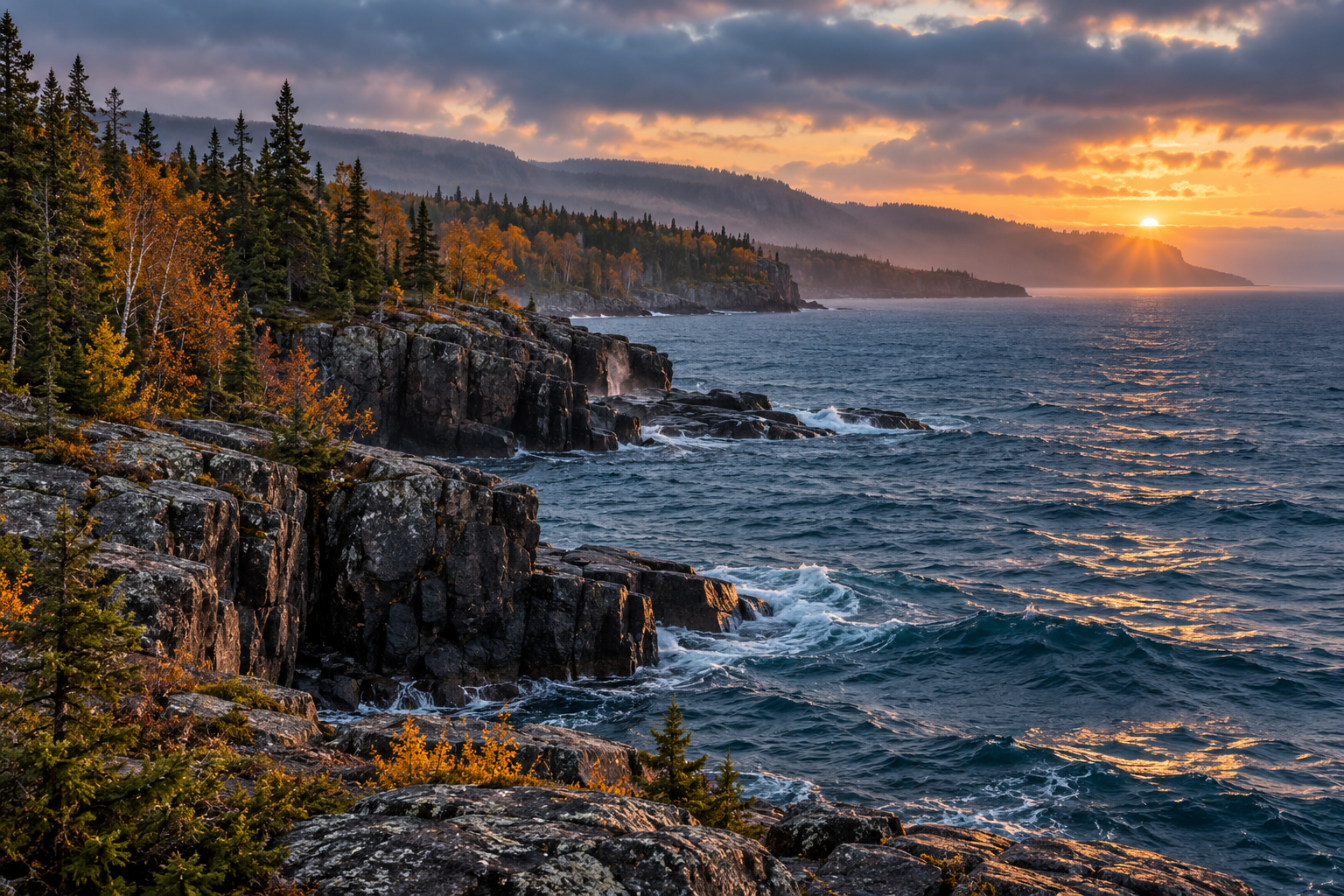
The Trans-Canada Highway along Lake Superior's north shore is one of the great freshwater drives in North America, and it is easy to ruin by trying to do it in a day. The lake is simply too large. Plan it as a two or three day route with actual stops, and it becomes the reason to come.
The shape of the drive
Heading east from Thunder Bay toward Sault Ste. Marie, the highway passes a run of protected places in quick succession:
- Sleeping Giant Provincial Park, on a peninsula out into the lake, with the lookout that names the shape.
- Pukaskwa National Park, the largest road-accessible wilderness on the lake's Canadian shore, where the Coastal Trail begins.
- Lake Superior Provincial Park, with the Agawa Rock pictographs, Old Woman Bay and the Sand River.
- Wawa and Terrace Bay, working towns that make good overnight stops and better breakfasts.
Give the parks real time
Pukaskwa is the one people underestimate. The visitor centre and the White River suspension bridge on the Coastal Trail are a half day on their own, and the park rewards anyone who stays a night rather than stopping for a photograph. Lake Superior Provincial Park is more forgiving: Old Woman Bay and the pictographs are short walks from the highway, so it works as a full afternoon instead of a full day.
Fog, wind and rain arrive quickly on this shore. A drive that is beautiful at nine in the morning can be a white wall by noon and clear again by four.
Crossing to the American shore
On the western end, the Apostle Islands National Lakeshore in Wisconsin protects twenty-one islands and some of the most photographed sea caves on the lakes. Meyers Beach is the usual access point for paddlers; the ice caves that draw crowds in hard winters are not something to plan around, because they depend entirely on conditions.
Practical notes
- Distances between services are long. Fill up before the empty stretches, not after.
- Park passes are separate from camping reservations, and both are worth arranging in advance.
- Shoulder seasons bring quieter roads and closed facilities in equal measure. Check opening dates before assuming a stop is running.